Spatial + Exploratory Analysis
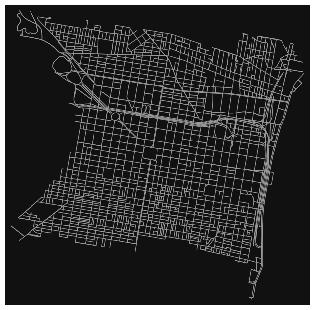
After wrangling and preparing the data, we begin to retrieve the OSMnx street network of the neighborhood using the OSMnx Python package.
We then utilize crash data from the Pennsylvania Department of Transportation (PennDOT) to receive crash data for the neighborhood. With this data, we are able to create a variable of crash index by calculating the total crashes by street and dividing by street length. We then take the log of this value and further normalize it between 0 and 1.
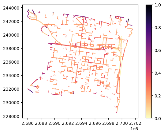
This provides us with a static map indicating the crash index of each street in the neighborhood.